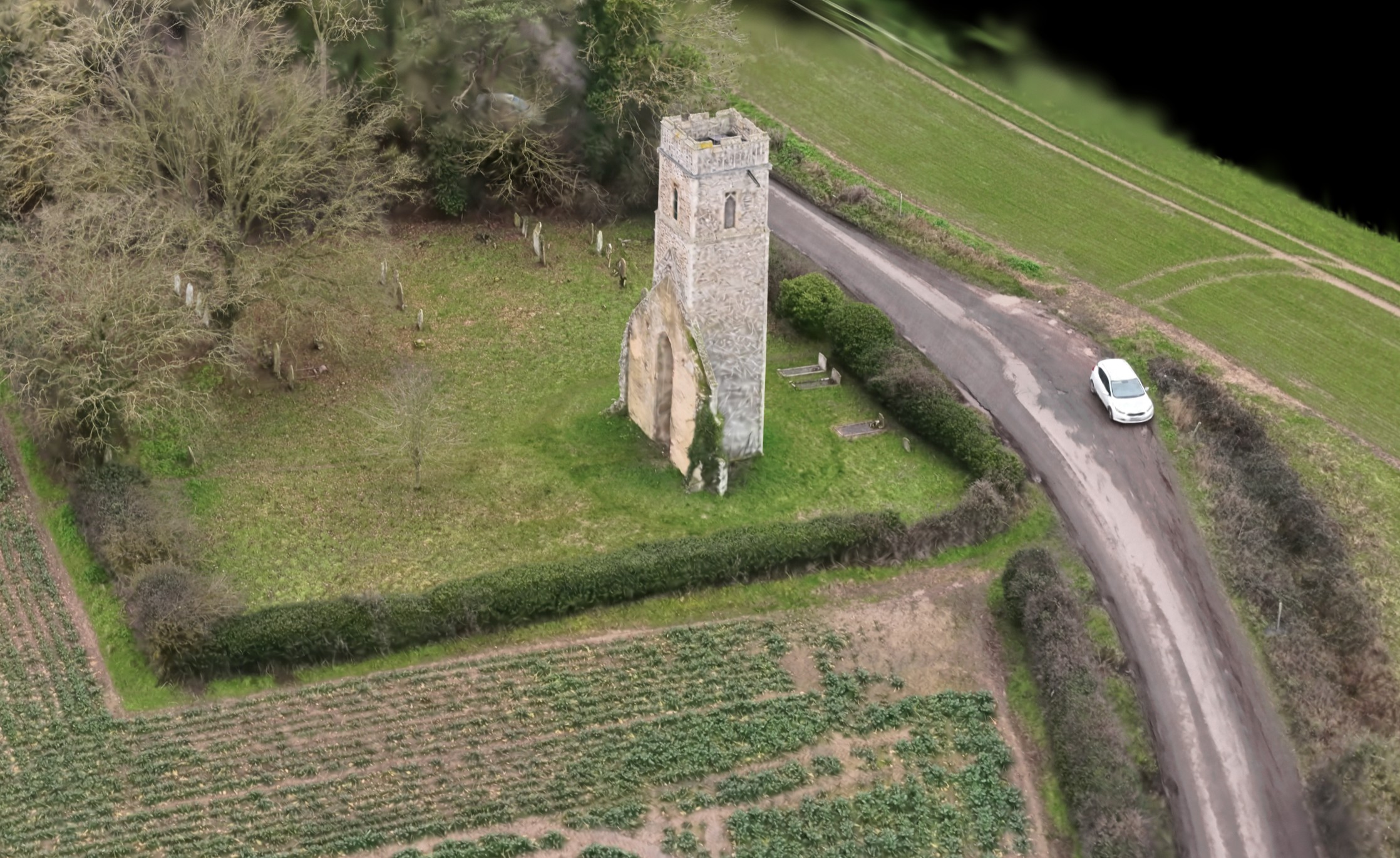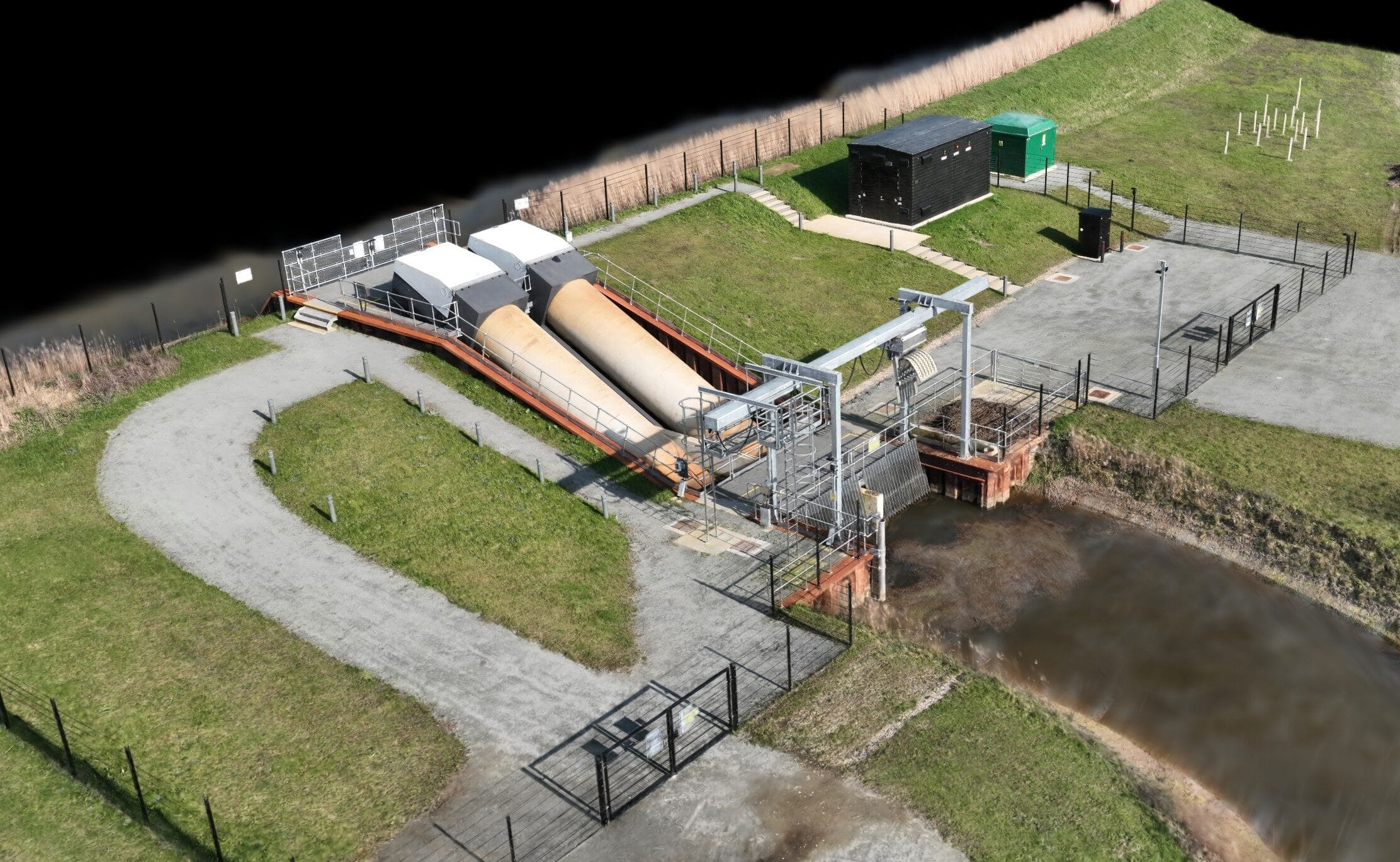

Aerial 3D Gaussian Splatting (3DGS) represents a major step forward in creating ultra-realistic 3D models from drone-captured imagery. When captured correctly, it produces exceptionally detailed, lifelike representations that preserve fine surface texture, depth, and spatial accuracy—far beyond what traditional photogrammetry can achieve for many visual applications.
WADIT Aerial Surveys specialises in acquiring high-quality, precisely planned aerial datasets for producing successful 3DGS models. Using professional capture workflows, controlled flight paths, and high-resolution imagery, we ensure the data is clean, consistent, and optimised for accurate 3D reconstruction.
As a CAA-approved, GVC-qualified, and fully insured operator, WADIT Aerial Surveys delivers not only outstanding visual results but also complete confidence that every flight is conducted legally, safely, and to a professional standard. If your project demands immersive, cutting-edge 3D outputs built on reliable aerial data, contacting WADIT Aerial Surveys is the right place to start.
For more information, please contact us with a brief explanation of what you need, and we will contact you soon after to discuss.
Please allow a few moments for the 3DGS to load...
When opening a digital 3D Gaussian Splat (3DGS) scene, you might notice a brief delay before you can freely explore the model. This pause is not a glitch—it’s an essential part of the viewing process.
3DGS files store millions of points representing the scanned environment or object. Before the scene can be interactively displayed, the viewer must download the data, process it, and render it into a visually coherent 3D representation. Attempting to navigate or manipulate the scene before this process completes can result in incomplete visuals, missing details, or choppy performance.
By waiting for the full load, the viewer ensures that every splat is properly positioned and shaded, giving a complete and accurate representation of the original scan. This also allows tools like scale bars, measurement overlays, and annotations to function correctly. In short, a few moments of patience guarantees a smooth, immersive, and fully accurate 3D experience.