At WADIT Aerial Surveys, aerial photography is far more than simply flying a drone. It is a professional service that combines expertise, technology, and precision to deliver imagery that is both clear and actionable. Our work goes beyond visual appeal; we provide high-quality aerial imagery that adds real value to a wide range of applications, whether for inspection, documentation, marketing, or technical analysis.
We understand that accurate and reliable imagery is critical for informed decision-making. Every project is approached with careful planning, professional equipment, and meticulous attention to detail. Before any drone ever takes to the sky, we conduct thorough flight planning, assessing factors such as lighting, weather conditions, and the unique requirements of each site. This ensures that the imagery we capture is both technically precise and perfectly suited to your project goals.
Safety and compliance are central to everything we do. Every flight is fully legal, insured, and conducted according to the highest standards of operational safety. From urban environments to remote locations, we follow strict protocols to ensure the safety of people, property, and the environment. Our attention to detail extends beyond safety to ensure that every image is accurate, sharp, and suitable for its intended purpose.
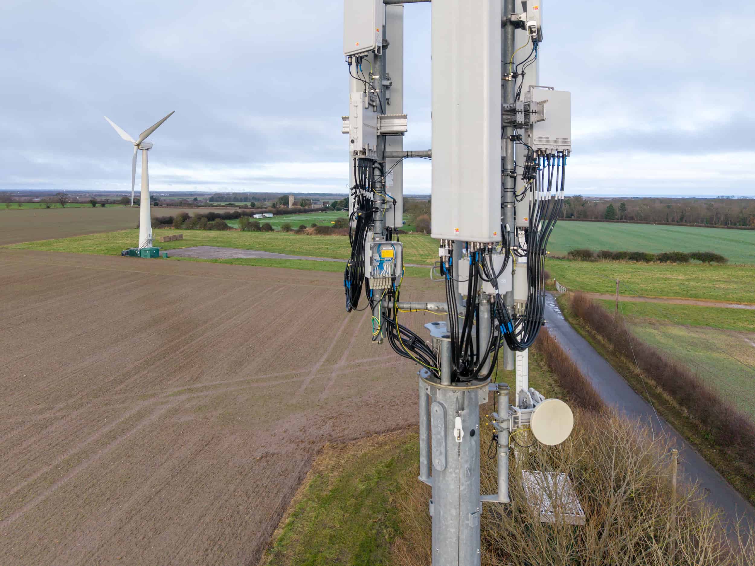
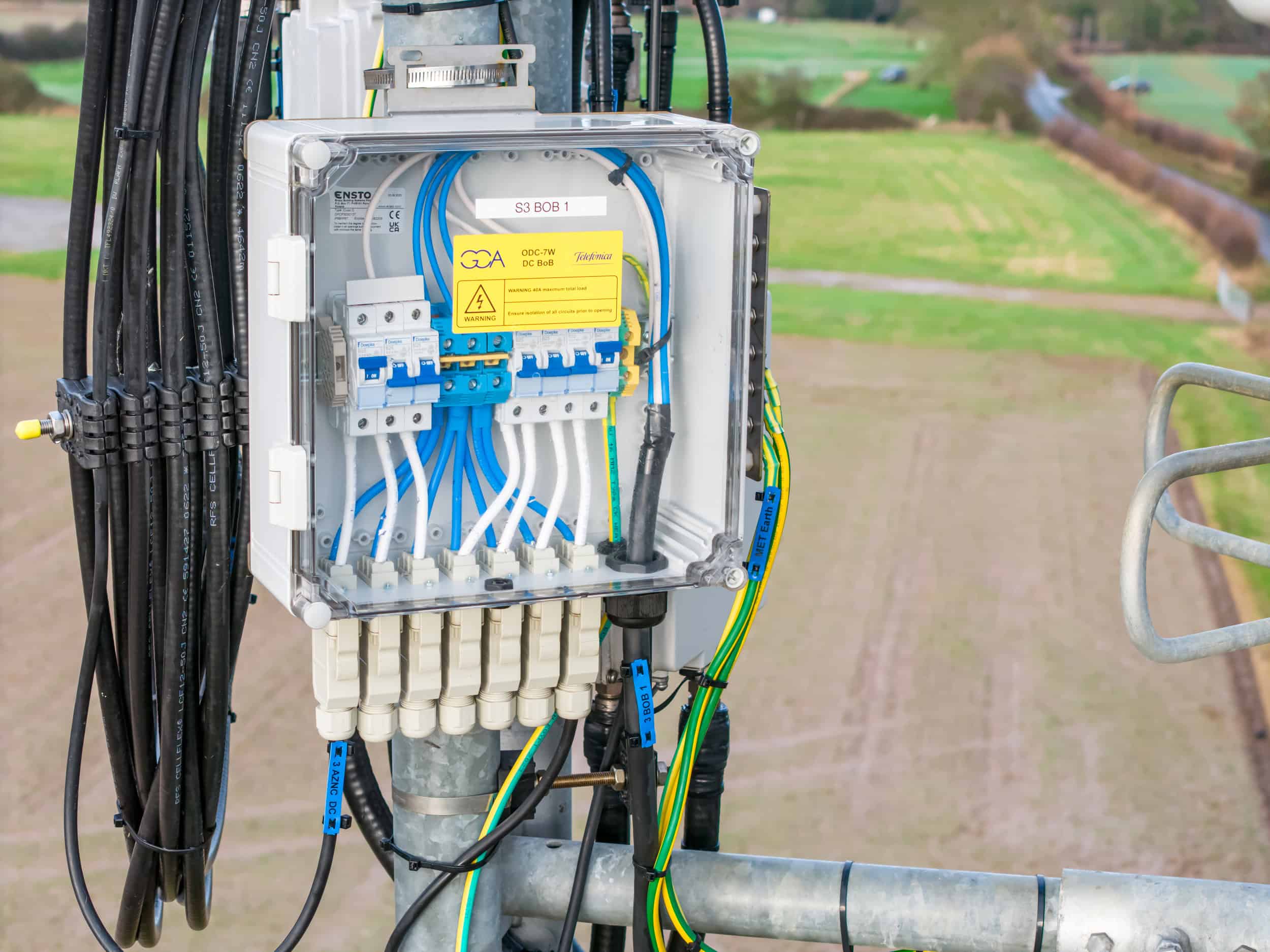
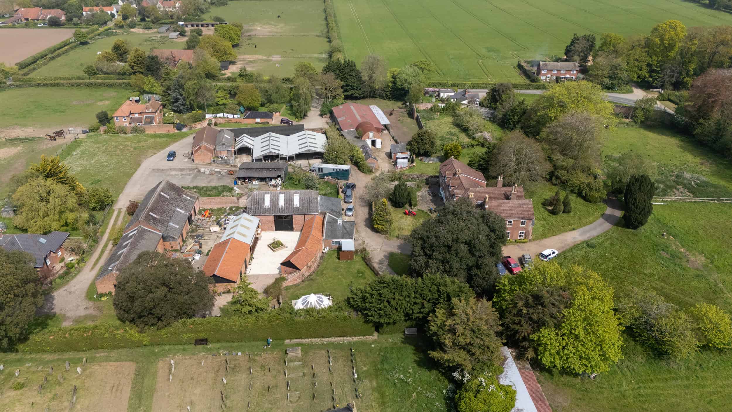
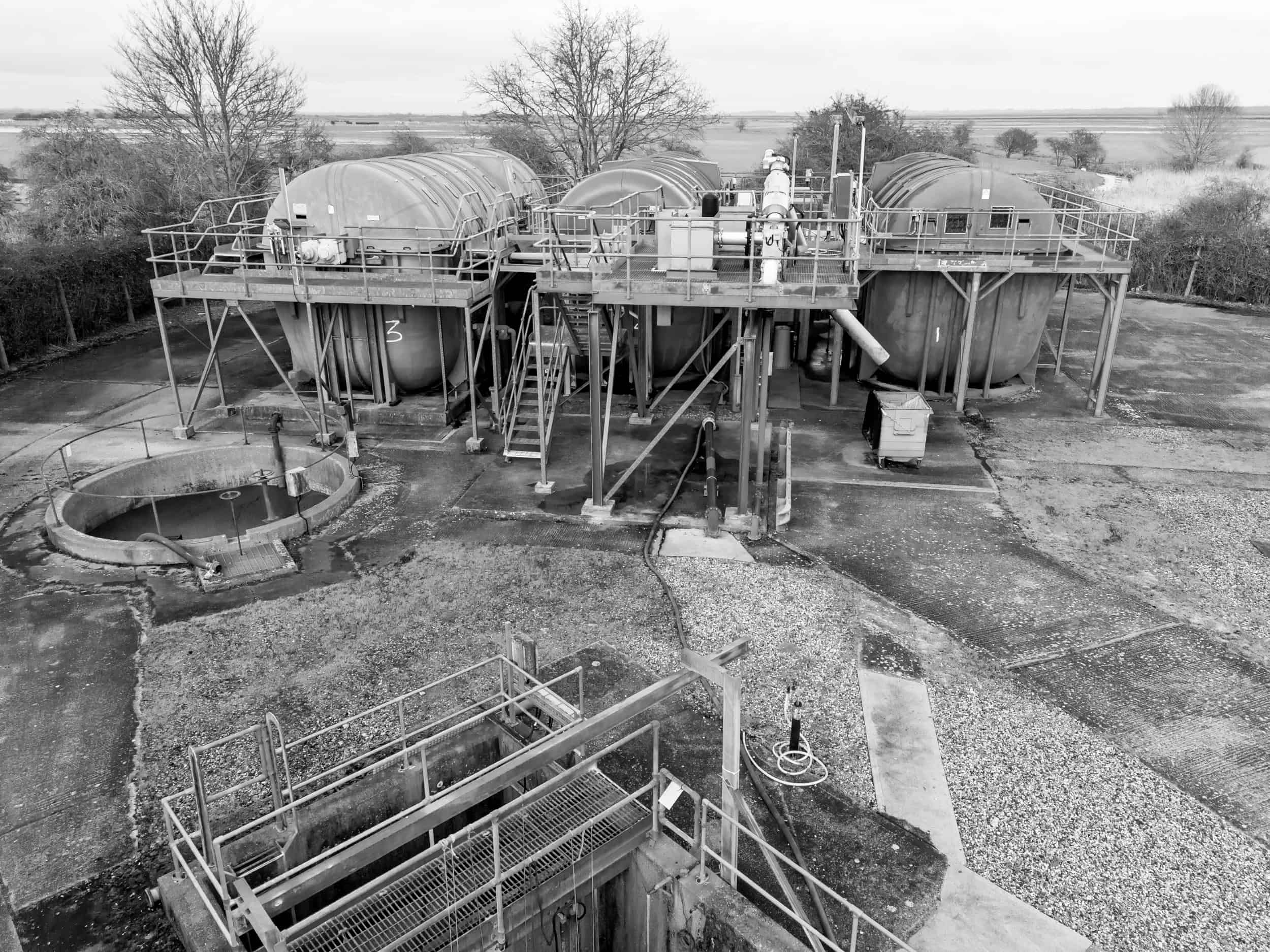
From detailed close-ups of buildings and infrastructure to wide aerial overviews, our photographs are purposeful and never generic. We focus on capturing imagery that is meaningful, whether it’s for construction progress monitoring, environmental surveys, marketing campaigns, or precise technical documentation. Our approach guarantees that each photograph provides value, insight, and clarity—helping clients make better decisions based on the data we provide.
When you choose WADIT Aerial Surveys, you work with a qualified, insured operator who understands both the technical and practical needs of aerial data collection. Our expertise ensures that we can deliver imagery that is not only visually compelling but also technically useful. We take the time to understand your objectives before proposing solutions, ensuring that the results are fit-for-purpose, professional, and tailored to your specific requirements.
Communication and transparency are key aspects of our service. We offer no-obligation quotes, allowing you to discuss your requirements and evaluate our value without any commitment. From the initial consultation to project completion, we ensure that you know what to expect at every stage. This transparent approach fosters confidence and trust, allowing you to proceed with full assurance that your project is in capable hands.
Our services are versatile and adaptable. Whether your project requires high-resolution stills, video documentation, or detailed survey data, we deliver imagery that meets professional standards and client expectations. We combine advanced drone technology with expert piloting and careful post-processing to create images that are both accurate and impactful.
At WADIT Aerial Surveys, we pride ourselves on delivering aerial photography that professionals can rely on. Every project is approached with precision, professionalism, and an understanding of the practical value of aerial imagery. We aim to provide imagery that not only captures the moment but also informs, supports, and enhances your business decisions.
Contact WADIT Aerial Surveys today to discuss your project, request a no-obligation quote, and experience aerial photography you can truly depend on. With our professional approach, advanced equipment, and commitment to quality, your imagery will provide clear insights, reliable data, and a perspective that can only be achieved from above. Trust WADIT Aerial Surveys to deliver imagery that is precise, purposeful, and designed to meet your specific needs.