
Case Study
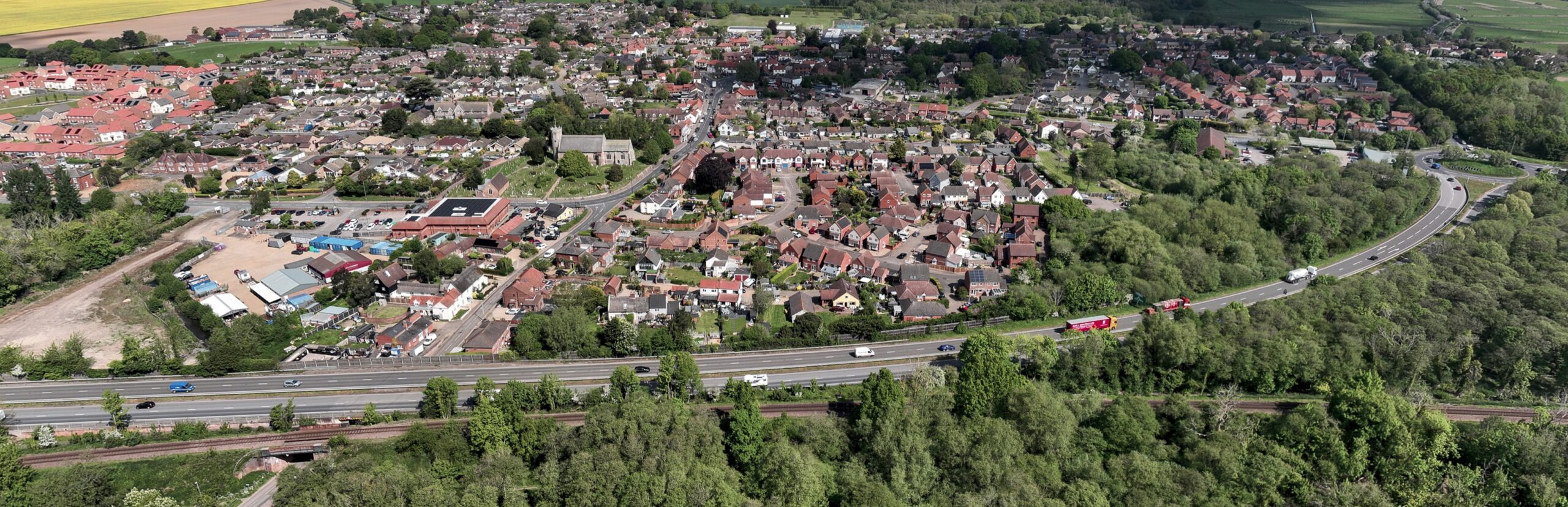
WADiT Aerial Surveys was appointed to provide monthly drone surveys of a large housing development in Norfolk. Over the course of the 14-month build, we captured consistent, repeatable aerial data that let the client monitor progress, plan resources and share clear updates with investors and stakeholders.
Each visit combined high-resolution photography, orthomosaic mapping and a 3D Gaussian Splat model of the site, giving the project team an accurate, explorable record of how the development changed month to month — without the cost or disruption of repeated ground surveys.
Deliverables
Let's discuss how we can help you achieve your goals.