About WADiT
WADiT Aerial Surveys is a CAA-approved drone survey company based in Acle, near Norwich, providing high-quality aerial and ground-based data across Norfolk, Suffolk and the wider East Anglia region.
We combine professional aerial photography and videography, precision mapping and 3D Gaussian Splat (3DGS) modelling to give clients a unique, elevated perspective — from roof inspections and construction monitoring to property marketing and insurance claims.
Meet the Team
Our lead pilot is CAA GVC-qualified (General VLOS Certificate) and operates under the PDRA01 Operational Authorisation, with full public liability insurance for every flight. Every project is approached with attention to detail, clear communication and a focus on producing results you can confidently use for decision-making, reporting or planning.
Full pilot bio and photo coming soon — get in touch if you'd like to speak with the team directly.
Get In TouchEquipment
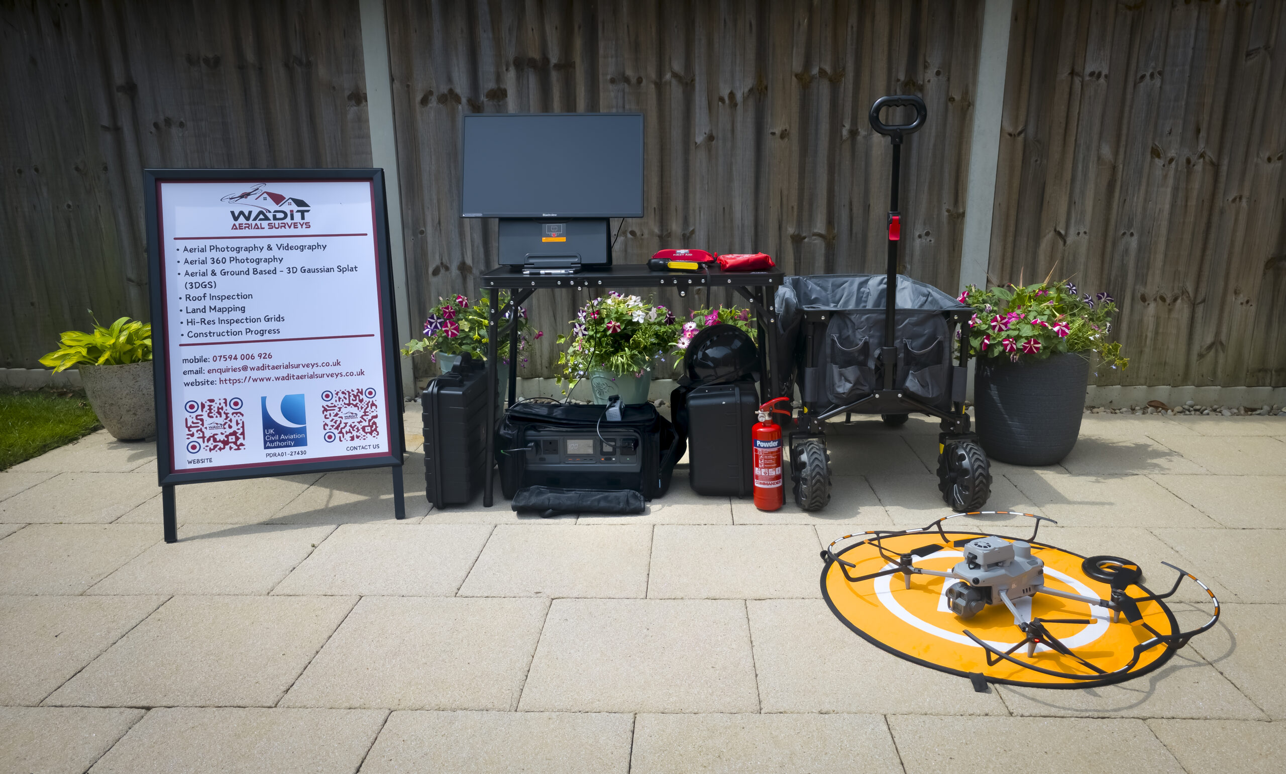
State-of-the-art drones with high-resolution sensors, plus a dedicated ground-based capture kit for Gaussian Splat and inspection work.
UAVs with large sensors and full manual controls for reliable image quality — 4K video and high-res stills in a single flight.
High-resolution ground cameras with manual exposure, focus and white balance for Gaussian Splat and inspection datasets.
Dedicated processing workflow for 3D Gaussian Splat models, point clouds and interactive digital twins.
Why Choose Us
CAA GVC-qualified and operating under the PDRA01 Operational Authorisation — every flight is safe, legal and insured.
Clear, practical deliverables in the formats you need, without unnecessary delay.
No obligation quotes with no hidden costs, so you know exactly what to expect.
Certifications
When choosing a drone service provider it's crucial to ensure pilots are CAA approved and fully insured — here's what that means for our clients.
Areas We Cover
Based in Acle, near Norwich, we're happy to travel across the region for the right project.