Regular aerial capture that keeps every stakeholder up to date, without the site visits.
Overview
From groundworks to topping out, our construction monitoring service gives you a consistent visual record of how a project is progressing. Scheduled drone flights capture the same angles and reference points each visit, making it easy to track change over time.
Data can be delivered as high-resolution stills, orthomosaic maps, or a 3D Gaussian Splat model of the site. This is useful for progress meetings, investor updates and resolving disputes about what was built and when.
Get a Free Quote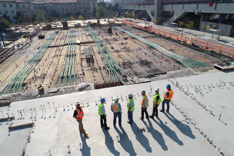
What's Included
Reduce time spent travelling to site for routine progress checks.
Repeatable flight paths make month-to-month comparisons straightforward.
Clear visuals for investors, clients and project teams.
Who It's For
Get in touch for a free, no-obligation quote.